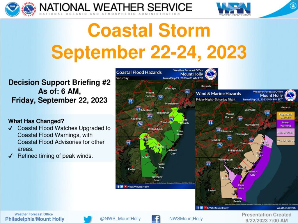
Commercial Trash Pick Up Suspended for Sunday, September 24, 2023
September 22, 2023
A message from the Stone Harbor Department of Public Works
Commercial Trash Pick Up Suspended for Sunday, September 24th
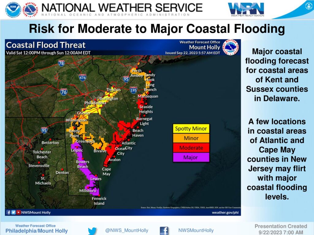
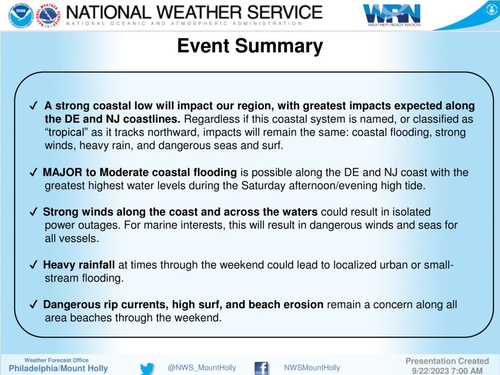
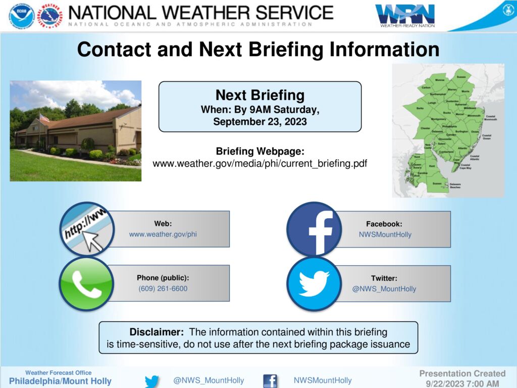
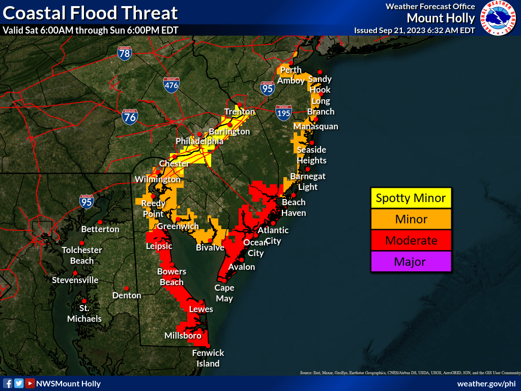
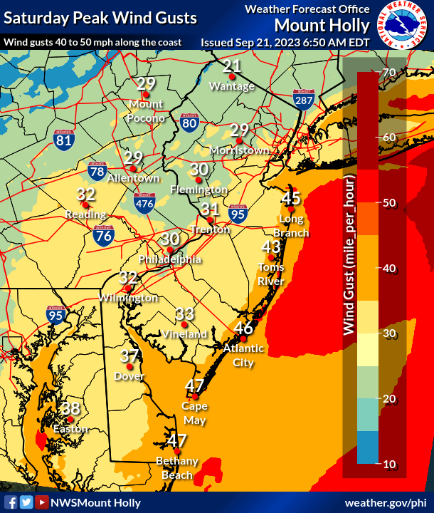
Due to the preparation of Public Works staff and resources to respond to Tropical Storm Ophelia, commercial trash and recycling pick up on this Sunday, September 24 is being suspended. Trash and recycling should resume on Monday, depending on the storm clean up required. The solid waste convenience center will also close due to likely flooding on 81st Street and Third Avenue. Please be safe!